What it is
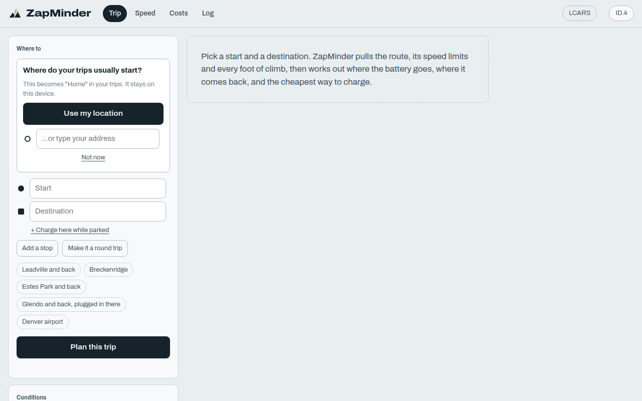
ZapMinder is an EV trip planner that thinks in dollars and minutes. It reads the actual route, including every climb, descent and speed limit, and simulates the car's battery mile by mile. Then it picks where to charge so the trip costs the least once you count your time. It can also tell you whether driving a bit slower is worth it, and keeps a log of real drives to tune itself.
Try it
Under the trip form, click one of the preset trips (Leadville and back, Estes Park and back, and so on) and skip the "where do your trips start" question with "Not now". Look at the elevation profile: the color shows the battery working on climbs and recovering on descents. Open the energy receipt to see where each kilowatt-hour went. Then try the Speed tab (the same trip at other speeds) and the Costs tab (home, public and gas compared). The routes, terrain and charger list are real. The car model is tuned for one specific EV, with an approximate mode for others. Works on desktop or phone; needs a connection.
How it works
- Choose a start, stops and an end, or a preset.
- ZapMinder fetches the real route with grades and speed limits.
- It simulates energy use segment by segment, including regenerative braking.
- An optimizer picks charging stops, weighing price, time and your value of time.
- Mark any stop as "charge while parked" to get free top-ups at a hotel or campground.
- Log real drives afterward to tune the model and track battery health.
What exists today
- Physics-based energy model for one EV, plus an "other EV" approximation
- Charging optimizer with a chart comparing one to five stops
- Speed comparison and cost comparison tabs
- A list of DC fast chargers for two states, refreshed weekly
- Drive and charge log with model tuning and battery-health estimate
- Send-to-phone and trip sharing through Handoff spoken codes
- Two visual themes, map view and QR codes
What isn't there yet
- Charger coverage is limited to two western states
- Electricity prices are set for one area
- The car model is precise only for one make and model
- Shared trips re-plan the route on the other device rather than copying it
- Relies on a free public routing server that can be slow
Under the hood
- Plain JavaScript modules, no build step, with MapLibre for maps
- Routing and elevation from the open Valhalla service, with an elevation-tile fallback
- The optimizer uses dynamic programming over possible stops
- Charger data comes from the U.S. Alternative Fuels Data Center