What it is
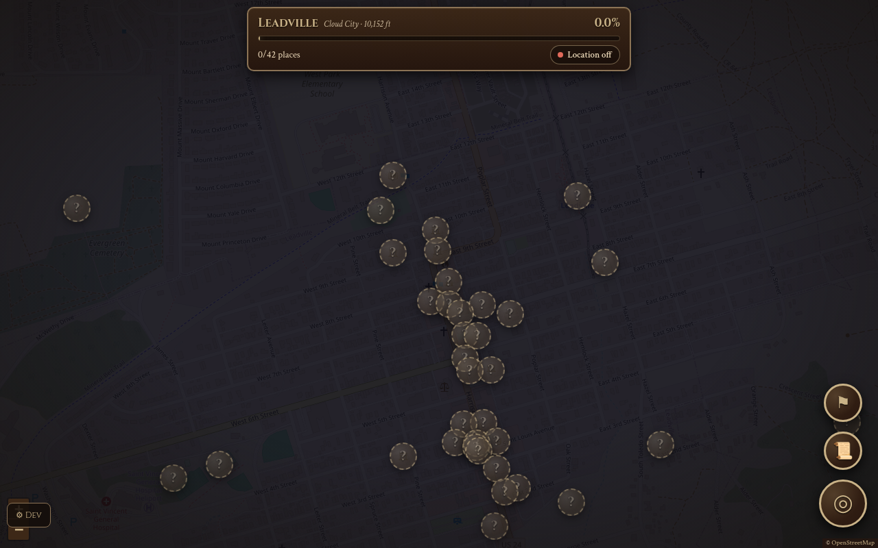
FogMap turns walking around a town into exploring it. The map starts hidden under fog. As you walk, the fog lifts along your path. Hidden question-mark places are scattered around; get close to one and it is revealed and added to your journal. A small heads-up display tells you how much of town you've uncovered and hints at the nearest secret.
Try it
The showroom link opens a desk-friendly test mode, so you don't need to go outside. It starts in Leadville with 42 hidden places. Open the Dev panel at the bottom left and tick "Tap map to walk there". Now click the map to walk and watch the fog clear around you; walk up to a hidden place until it is discovered, then open the Journal to see it, rate it and add a note, and browse the awards. The places are real, curated locations. For the real thing, open it on your phone outdoors and allow location.
How it works
- Open the app on your phone and allow location.
- Walk. The fog clears around your path, and an exploration percentage climbs.
- Follow the hint toward the nearest hidden place; get within about 45 meters to discover it.
- Rate places, mark them to revisit, and add private notes in the Journal.
- Earn awards, some tied to weather or the moon phase.
- Optionally sync with another device or invite a friend with a link.
What exists today
- Fog of war with GPS noise filtering, using GPS only while the app is open
- Curated places for about nine towns, and live places built from Wikipedia and OpenStreetMap anywhere else
- Journal with ratings, notes and your own marked spots
- 65 awards in five groups, some secret
- Sync and sharing through Handoff spoken codes, plus invite links
- Installable, works offline once loaded
- Metric or imperial by region
What isn't there yet
- Live places for uncurated towns depend on a public map server that is often overloaded
- Real use needs a phone and a walk; there is no tutorial or first-run guide
- No shared leaderboard or group play
- An earlier server design is in the project but unused
Under the hood
- React and Vite, with Leaflet for the map and IndexedDB for storage on the device
- No accounts; data stays on the phone unless you choose to sync
- Place data is a bundled file for curated towns, plus Wikipedia and OpenStreetMap lookups
- Weather for awards comes from Open-Meteo; moon phase is computed