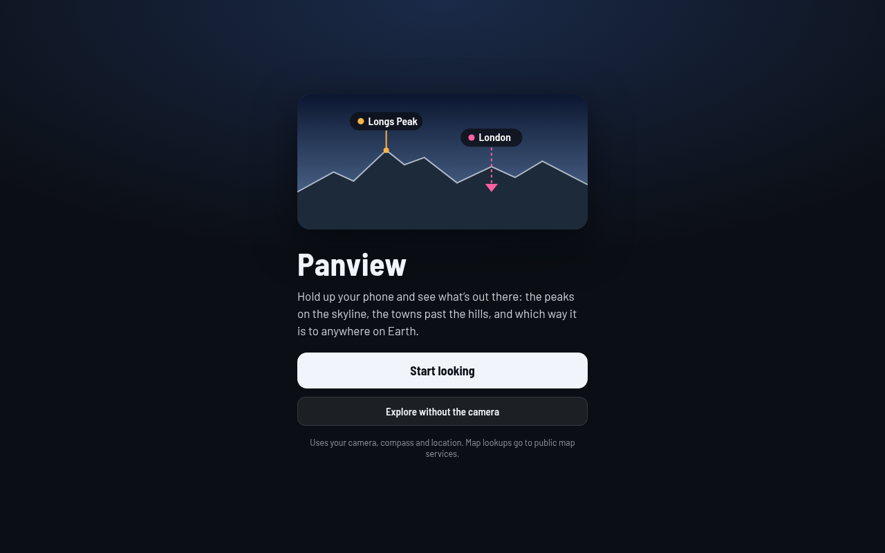
What it is
Panview answers "what's that mountain?" Point your phone at the horizon and the camera view fills with labels for the peaks, towns, cities and landmarks out there. It works out which places are actually visible, which are hidden behind a ridge, and which are past the curve of the Earth. Tap a label for a short card with a photo and summary. At night you can turn on constellations.
Try it
Best on a phone, outdoors, with a view. Open it, allow camera, motion and location, and slowly pan across the skyline. If labels sit a little off, use the snap step to line the drawn skyline up with the real one. Hold your aim on one place for a second and its card pops up. Search for a far-off city and follow the arrow. On a desktop there is no camera, so drag to look around, scroll to zoom, and use the arrow keys; the scene is real terrain, just without the live picture.
How it works
- Open the page and grant camera, motion and location access.
- Panview reads your position and which way the phone faces, then corrects to true north.
- It downloads elevation tiles around you and computes the skyline, allowing for Earth's curve.
- Nearby places are pulled from public sources and drawn over the camera image with visibility tags.
- Tap a label, or hold steady on it, to see its card.
- Search any place on Earth; an arrow points the way, and X-ray mode shows the line straight through the planet.
What exists today
- Live labels over the camera feed on Android and iPhone
- Skyline computed from real terrain, with line-of-sight checks
- Snap alignment against the real horizon, and calibration against a bright star
- Place cards, look-to-identify, and search with a direction arrow
- Optional constellation layer with about 1,000 stars
- Desktop drag-to-look mode
- Sync and share between devices through Handoff spoken codes
What isn't there yet
- iPhone compass behavior when held upright still needs field testing
- Default field of view is not tuned per phone
- No offline mode; it needs a connection for terrain and places
- Only one skyline layer; distant ridges behind nearer ones are not yet separated
- Relies on free public services that can be slow
Under the hood
- Plain JavaScript modules bundled into one small file, drawn on a canvas over the camera
- Terrain from public elevation tiles; places from GeoNames, Wikidata and OpenStreetMap search
- Compass correction uses the 2025 World Magnetic Model
- Star positions come from a trimmed open star catalog